Barcelona vs Madrid
A tale of two cities: comparing urban vegetation in Spain's largest metros
Two Cities, Different Greens
Madrid and Barcelona are Spain's two largest cities, both Mediterranean metropolises with millions of residents. But when it comes to urban vegetation, they tell very different stories.
Using Sentinel-2 satellite imagery from summer 2024, we analyzed the vegetation coverage in both cities. The results might surprise you.
Madrid Metro (20 cities)
Barcelona Metro (12 cities)
The Numbers
At first glance, the comparison seems straightforward. But the story is more nuanced than raw percentages suggest.
Barcelona has three times the vegetation coverage of Madrid by percentage. But Madrid is six times larger in area.
Green Space Per Person
When we calculate the actual green area and divide by population, a different picture emerges.
Green Area per 1,000 Residents
Context Matters
Barcelona's city limits are tightly drawn around its dense urban core, pressed between the mountains and the sea. Madrid's boundaries extend far into surrounding areas, including large parks like Casa de Campo.
This doesn't diminish Barcelona's achievement—maintaining over 10% vegetation in one of Europe's densest cities is remarkable. But it reminds us that comparing cities requires understanding their unique geographies.
The Bigger Picture: Metro Areas
Cities don't exist in isolation. Both Madrid and Barcelona are surrounded by satellite cities that form larger metropolitan areas. When we zoom out to include these surrounding municipalities, the comparison becomes even more interesting.
Metropolitan Area Totals
The Greenest Suburbs
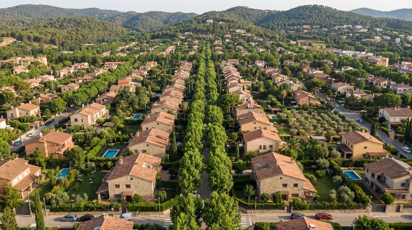
Some satellite cities far outperform their metropolitan centers. In the Barcelona area, Sant Cugat del Vallès leads with an impressive 29% vegetation coverage—nearly three times Barcelona proper.
Top 5 Greenest Cities by Metro Area
Sant Cugat del Vallès (Barcelona metro) has the highest vegetation coverage of any city in our dataset—nearly 6× higher than Madrid's city center.
The Takeaway
Both cities face the challenge of maintaining green spaces in growing urban areas. Barcelona shows that density and greenery can coexist. Madrid's larger footprint offers different opportunities for urban forests and parks.