
How green is Leganés?
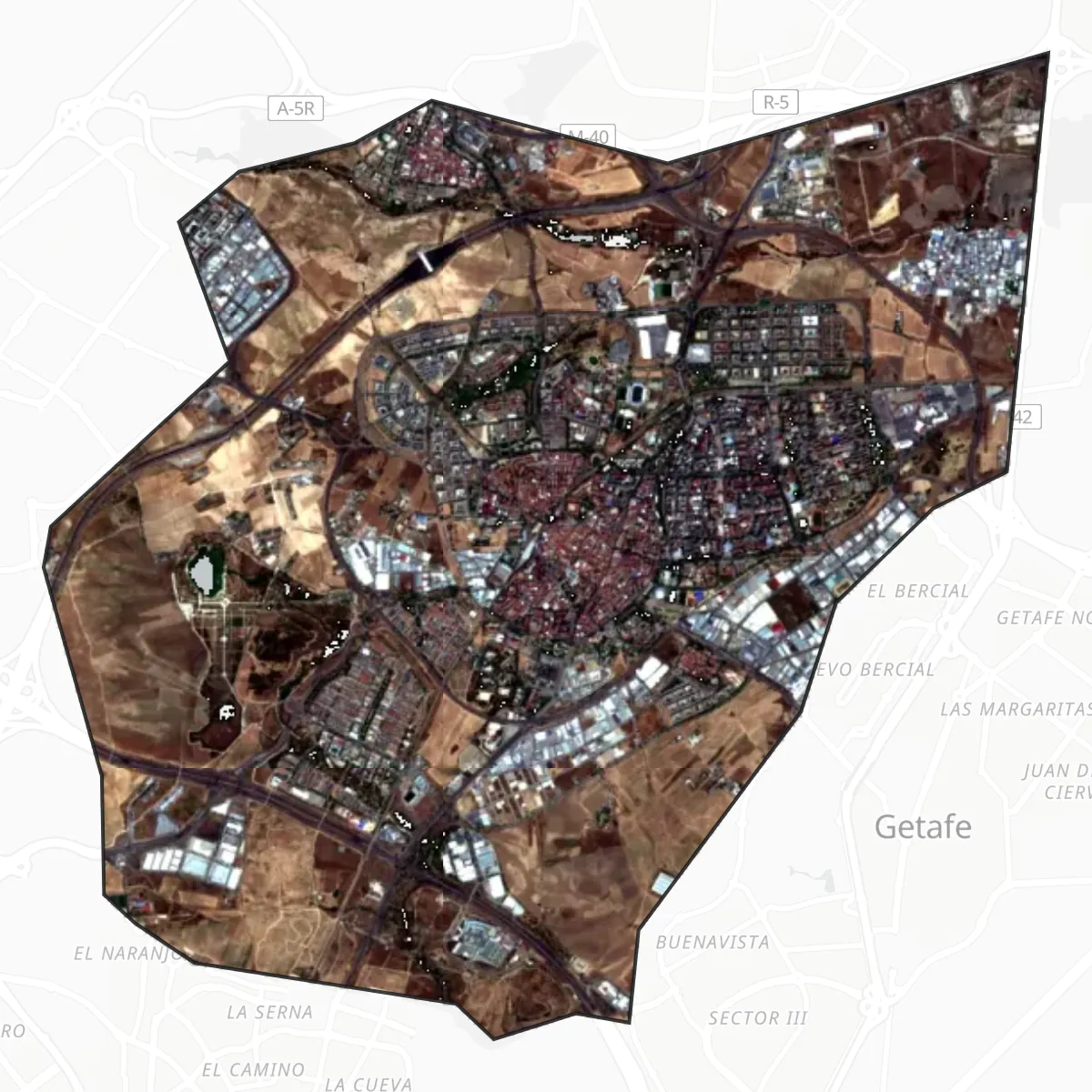
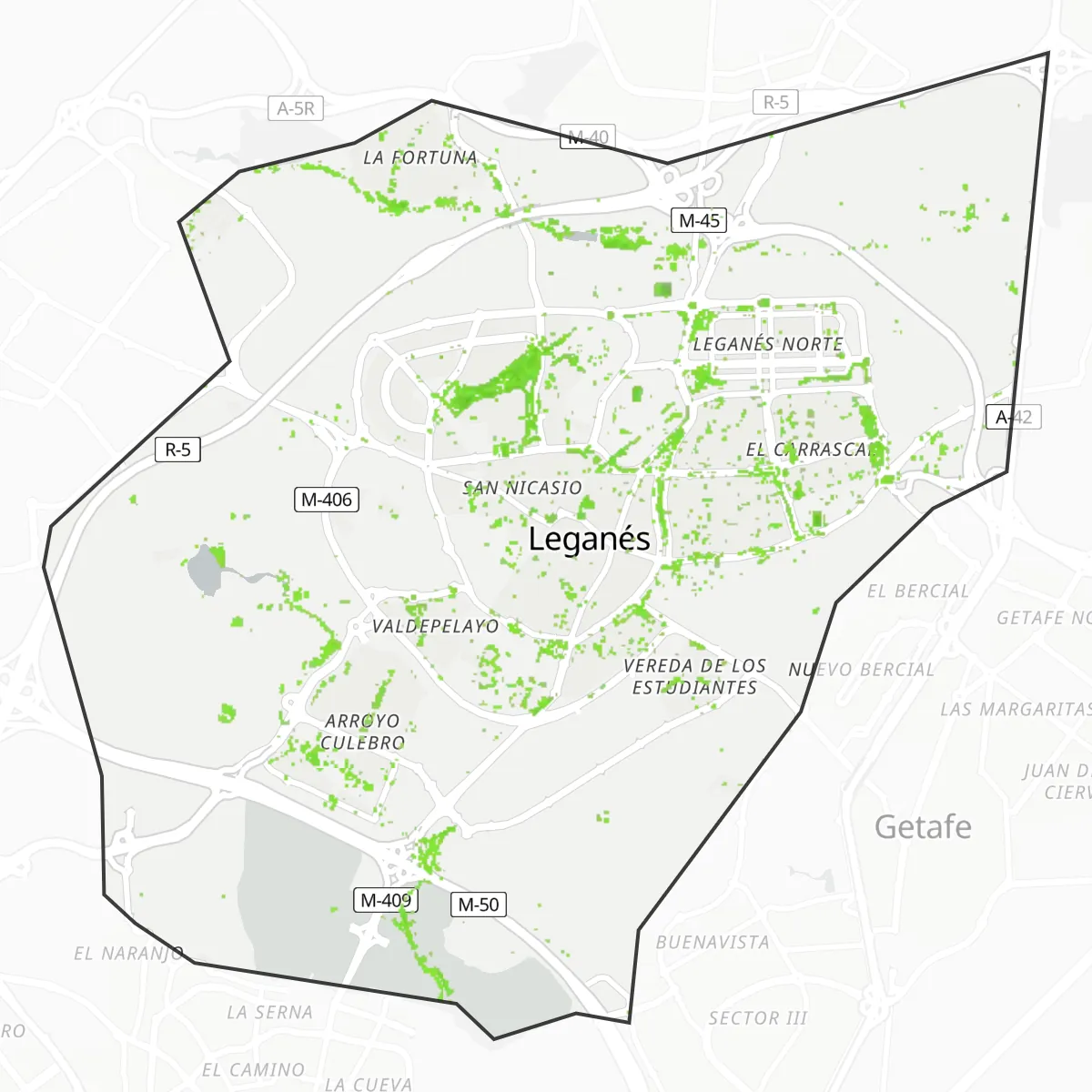
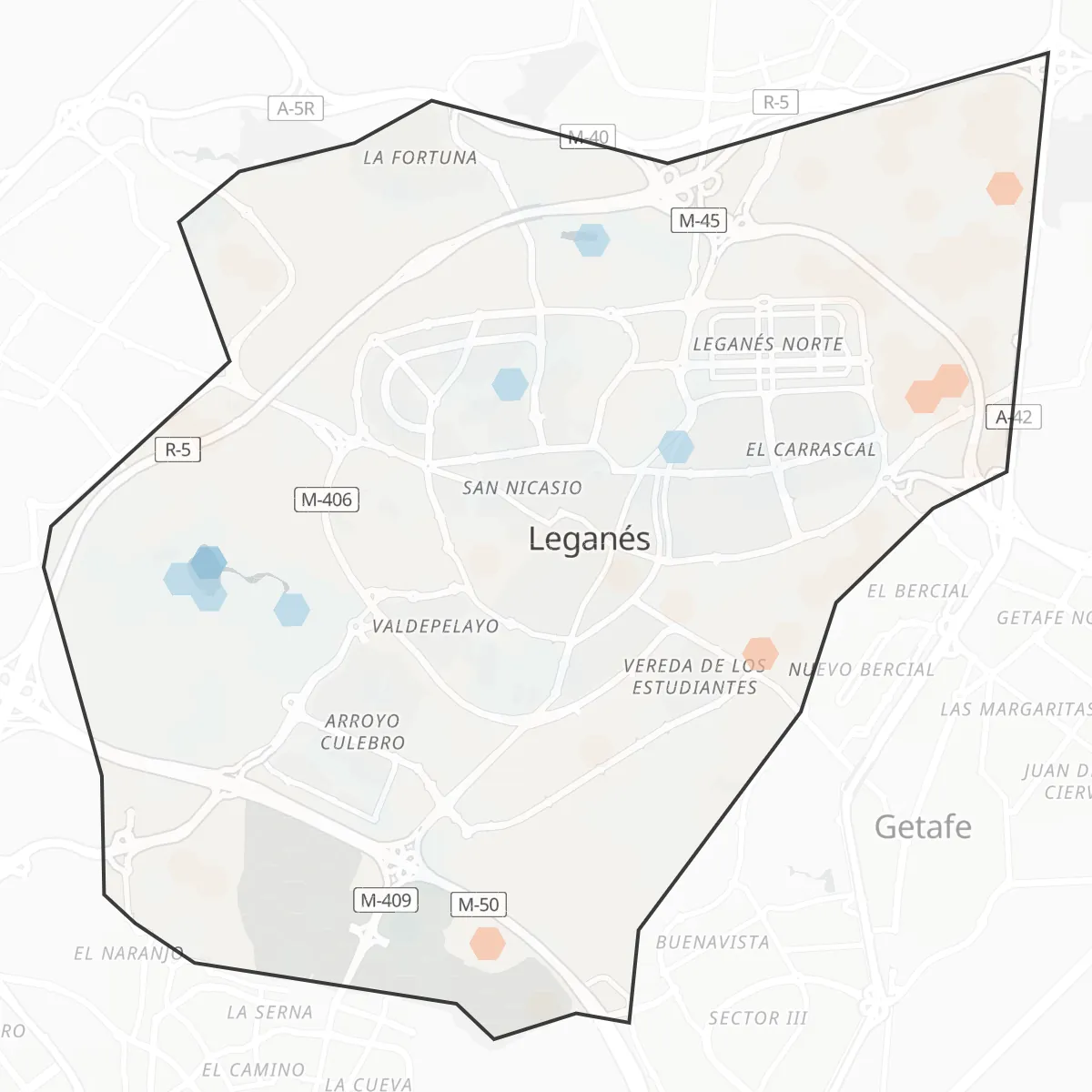
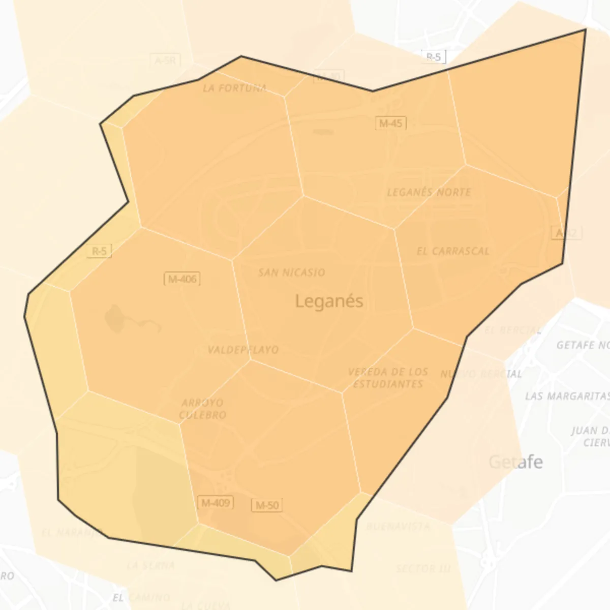
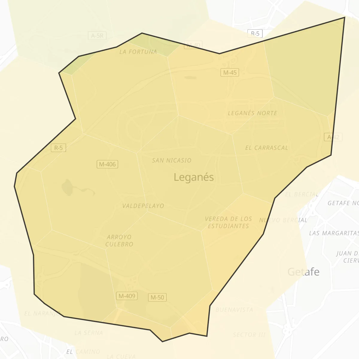
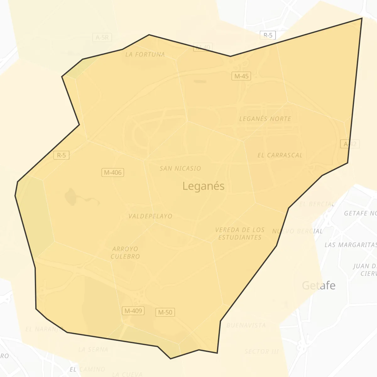
Leganés has 6 square metres of green space per inhabitant in 2025 satellite data. Vegetation covers 2% of the city area. In summer, the hottest land surface zones sit 1.7 °C above the city-wide average (land surface temperature, not air temperature). The PM2.5 model estimate for 2025 is 9.6 µg/m³. Satellite records cover 8 years, 2018 to 2025. Overall, Leganés ranks #681 of 828 reviewed cities in the Green City Index (green space, land surface heat and air quality combined), and #102 of 130 in Spain.
6
m² green per inhabitant
2%
vegetation cover
+1.7 °C
hottest zones vs city mean
9.6
PM2.5 estimate µg/m³
20.5
PM10 estimate µg/m³
24.4
NO2 estimate µg/m³
540.3
Index · #681/828
City maps
Nearby in the rankings
This city is at position #681 of 828 worldwide.
| #rank | City | Country | Index |
|---|---|---|---|
| 678 | Ioánnina | Greece | 536.8 |
| 679 | Issy-les-Moulineaux | France | 537.5 |
| 680 | Vitry-sur-Seine | France | 540.0 |
| 681 | Leganés | Spain | 540.3 |
| 682 | Sartrouville | France | 540.3 |
| 683 | Tychy | Poland | 541.0 |
| 684 | Parla | Spain | 541.3 |
Method and caveats
Heat is land surface temperature, not air temperature. Air quality values are model estimates. Green area is vegetation extent detected by satellite, not tree height.

